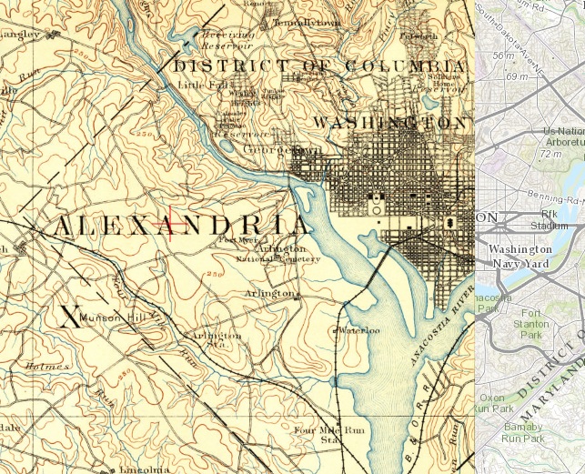
USGS Topo Maps — 100 Years of Arlington
The United States Geological Survey (USGS) has made available maps that cover Arlington from 1890 to 1989. And these maps are superimposed over a current map of Arlington, providing one with the ability to see how things really were here in Arlington. Of course other cities can be researched as well. This is an amazing resources now available to the general public.
This article from CityLab gives you all the information you need to know. If you are a big map person and want to dive right in, here is the USGS website. Fair warning this is a complete time warp in both senses of the word.